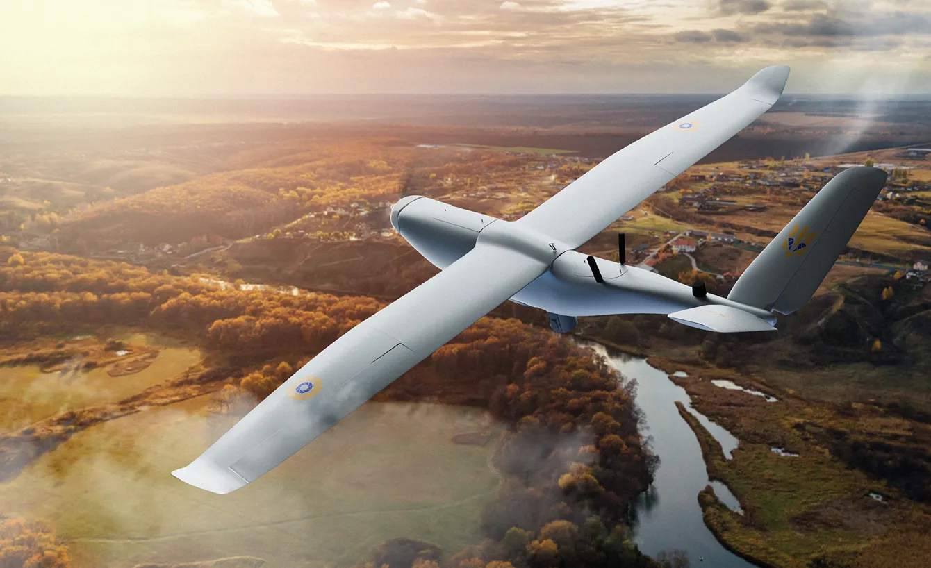
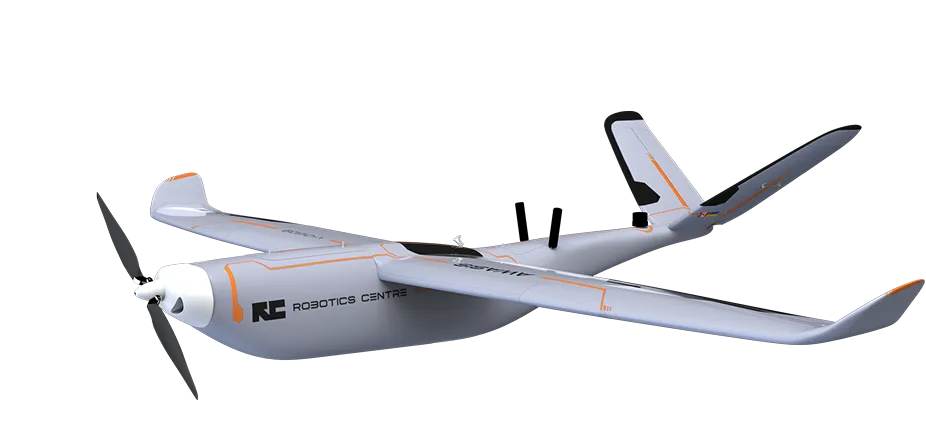
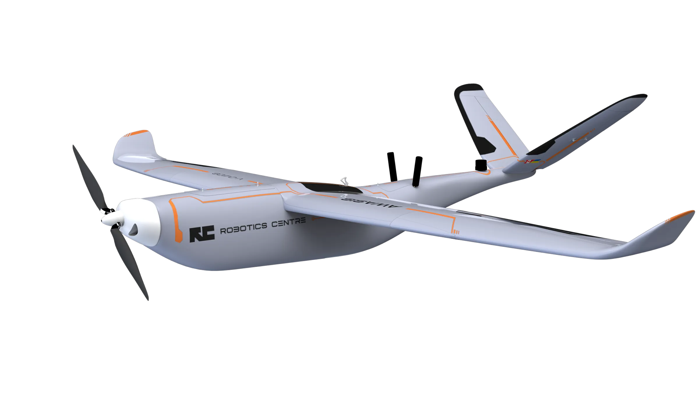
Reconnaissance UAS
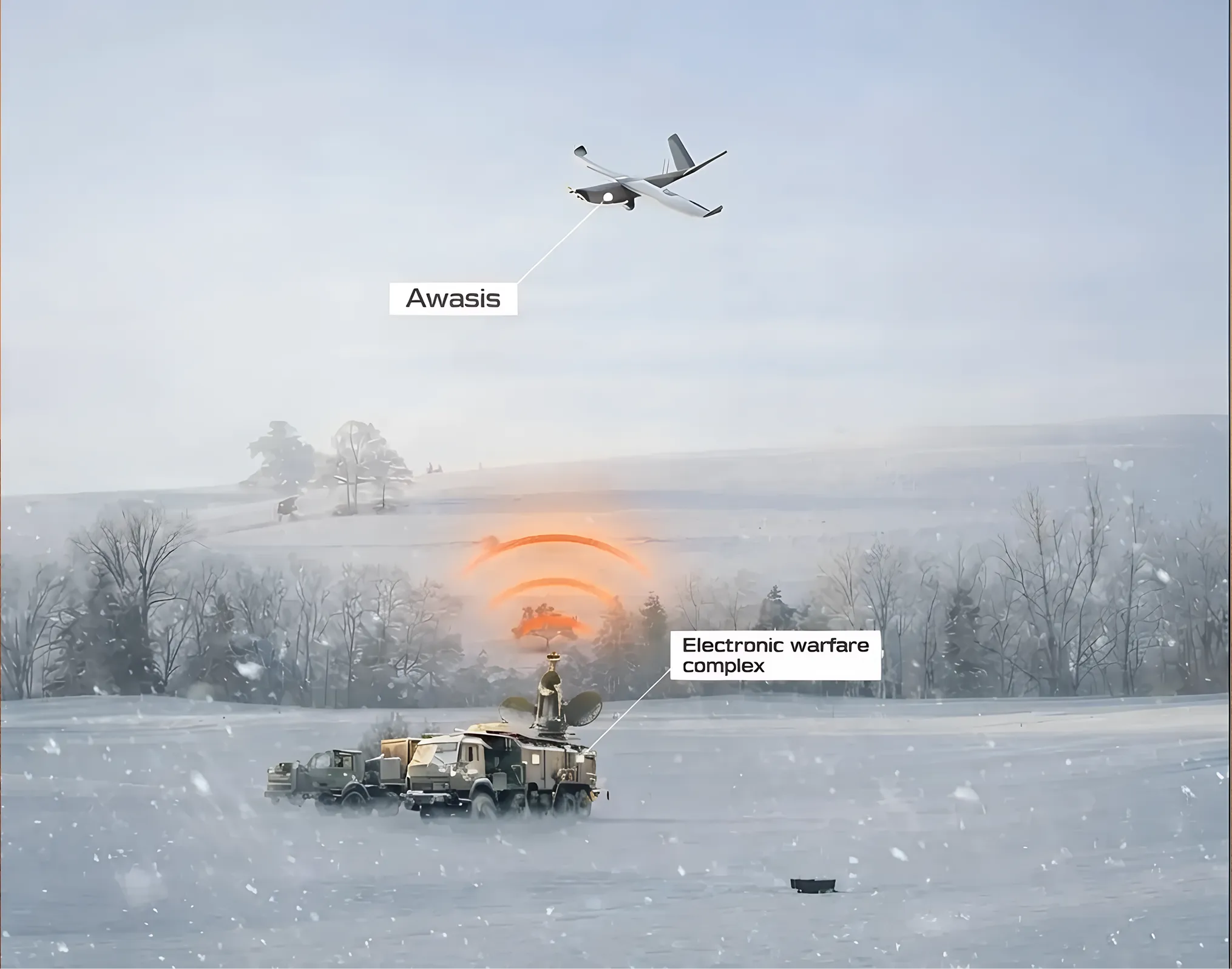
Awasis
A mission-ready UAS for tactical reconnaissance, effective at ranges up to 100 km
4 hours
Max flight time
3500 m
Max flight hight
260 km
Max flight distance
100 km
Tactical range
80x
Camera zoom
10 min
Deployment time
Advanced communications system
Built to perform under extreme electronic warfare loads, the communication system ensures reliable operation in the most challenging EW conditions. Even under aggressive jamming, the drone maintains continuous communication with the operator.
The system includes:
- Primary communications module with 8 preset channels
- Parallel backup system for uninterrupted link continuity
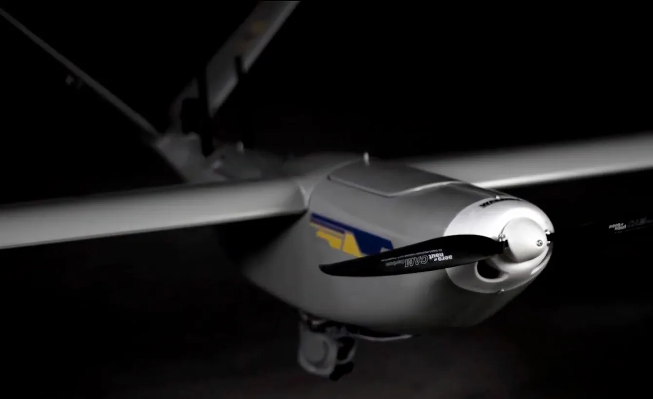
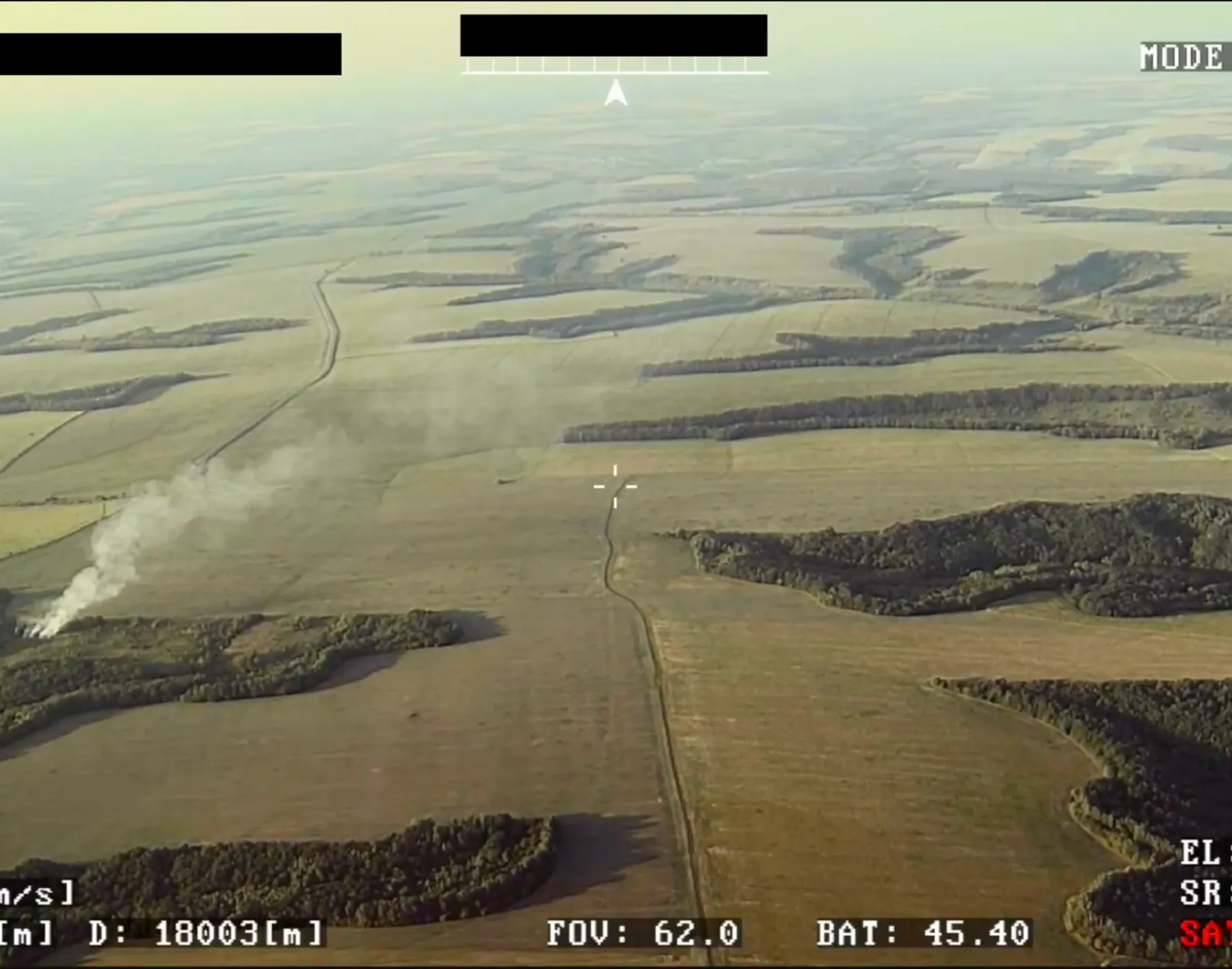
Best in class optical system
Raptor is a lightweight, long-range dual EO/IR stabilized camera that reflects NextVision’s continued technological advancement. It delivers a significantly extended infrared detection range combined with powerful electro-optical zoom, enabling precise target identification at long distances.
EO/IR Specifications:
- EO zoom: 40× optical, 2× digital (up to 80× total)
- Resolution: 1280 × 720
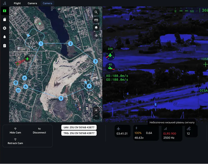
Advanced mission control software
Mission control software delivers unmatched ease of use and deep customization
- Remote Camera Control. Operate and manage the camera from anywhere in the world.
- Customizable Interface. Tailor layouts, colors, fonts, and element sizes to match your crew’s workflow.
- Video Recording & Annotation. Record video with an integrated timeline and mark points of interest in real time.
- Layer Management. Overlay weather, altitude, wind, and cloud data in a single, unified view.
- Hotkey Configuration. Assign custom hotkeys for rapid access to critical functions.
Designed to meet real operational demands, the intuitive interface enhances mission efficiency, reduces operator workload, and accelerates decision-making.
Specification
Flight time
Up to 4 hours
Tactical range
Up to 100 km
Max flight speed
30 m/s
Max takeoff wind speed
15 m/s
Max flight wind speed
18 m/s
Operating altitude
1,200-1,600 m
Max altitude
3,500 m
Max flight range
260 km
Pre flight setup time
10 min
Operating temperature
-20-+50 °C
MTOW
11.3 kg
Number of crew members
Two or Three
Takeoff
Catapult
Landing
Belly
Materials
Carbon, Kevlar, Fiberglass
Propulsion system
Electric
Wingspan
2.6 m
Length
1.6 m
Assembly
Modular, 6 parts
Want to have a test flight?
Experience autonomous flight, resilient communications, and mission-grade sensors in action